
Land Mark Survey Services is one of the leading engineering survey companies in UAE. Established in 2012 as a branch of Accurate Survey Engineering Group. We are established with the aim of providing multifaceted options in Abu Dhabi with core verticals being onshore and offshore surveying and other marine survey works along with all other engineering survey services.
We have our reputation built on experience, reliability and commitment to quality. Our company promises skills and expertise to undertake a broad range of survey services including Land & Civil Engineering, Building Construction, Infrastructure Construction, Hydrographic, Bathymetry, 3D Laser Scanning, Mobile Mapping, LIDAR Scanning, Aerial Survey, GPRS, GIS & Geotechnical Engineering Services & Measurement Surveys throughout UAE and abroad.
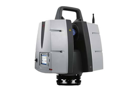
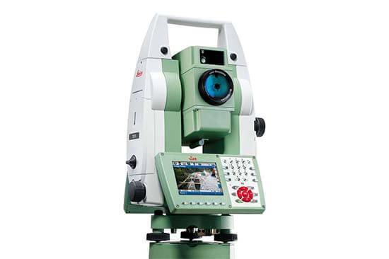
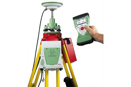

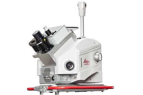
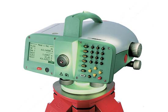

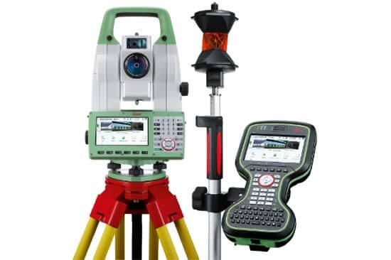
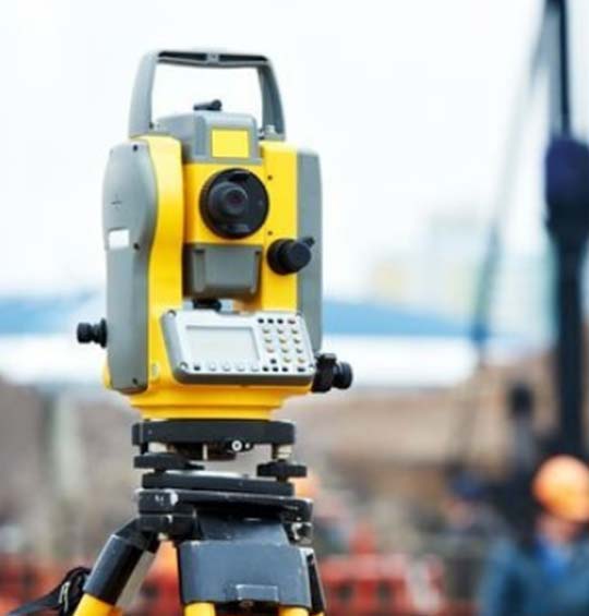
Technology has empowered the people dedicated to infrastructure development to use the available land wisely. Revolutionary changes have taken place in the last few years in the instruments used in survey activities.
With rapid advancement in technology and the availability of innovative components, these instruments have made survey works more precise and effective. Fast & economic survey results in saving of time, money and results in high quality survey reports.
Land Mark Survey Services
Post Box No. 91063,
Abu Dhabi, U.A.E.
Accurate Group (H.O.)
P.B.No.47452,
Al Reem Bldg. Offices
Office No.405, Sharjah, UAE
Accurate Survey Engineering
Post Box No. 77946,
Schon Business Park, DIP 2,
Dubai, UAE
© 2022 Landmark Survey Services. All Right Reserved
Developed by ![]()